Location: Main car park, BD23 4DA
Distance: 3 miles (From village to bottom of Cove and back)
Link to the route here (first section of red line walk).
Malham Cove is a must see for anyone in the area. It really is one of the highlights of the Yorkshire Dales National Park and why it is one of our favourite walks. Every time you visit you will get the wow factor. This walk never disappoints.
The spectacular limestone amphitheatre is huge but is best explored from all angles to experience the full effect. The Cove is famous for being featured in one of the Harry Potter films too.
The best view is undoubtedly from the top. But which way to get there is the million dollar question?! I would say it depends how good your knees are!! Approaching the cove from the bottom and climbing the steps is a bit of killer but actually if you have dodgy knees this route is preferable to going down them!
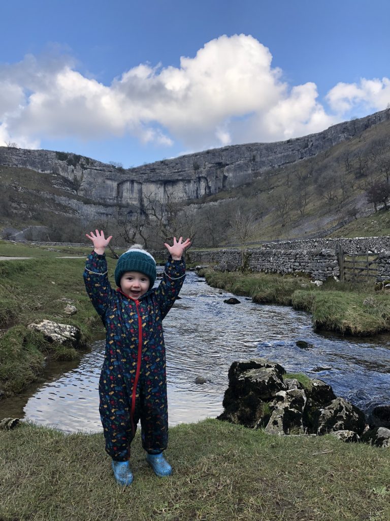
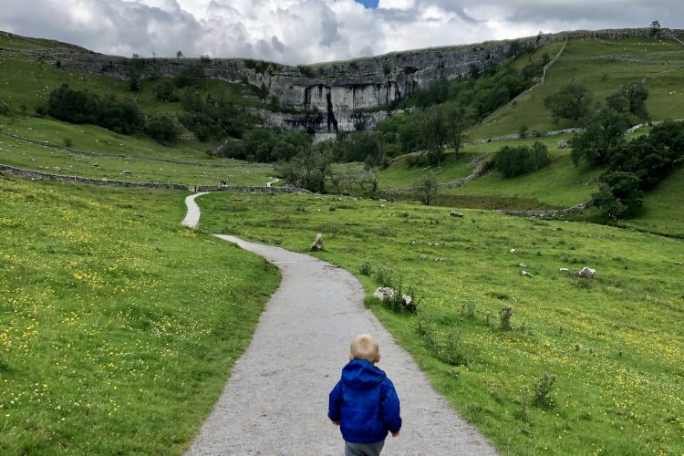
The route here is approaching from the bottom. The route starts in the village and follows the main road through the village (keeping left) past the houses, Beck Hall and Town End. This leads you onto the footpath across the field (good accessible path) down to the base of the Cove. There is a lovely stream to paddle in which makes it the perfect place for a picnic. You can venture closer to the bottom of the Cove by following the path straight on and through a gate. From here you will need to clamber over the rocks but this will give you the perfect view of any rock climbers that are about.
Pram friendly / accessible walk to the base of the Cove.
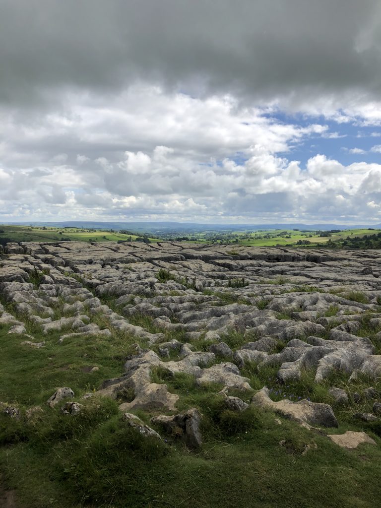
For a longer walk or to explore the Cove some more you can climb the 400 (ish) steps to the top. Wow oh wow is it worth the climb! From the top the view is incredible all the way down the valley. Just climbing over the top is an experience in itself. Getting close to the edge is not for the faint hearted and be careful where you are putting your feet! Take some time once you get on the top as there are a few different levels to explore. Great for a snack stop to take in the view.
From the top you can venture further up the valley towards the Tarn. We prefer to head across the limestone pavement to the other side, through the gate in the wall and then follow the path to the right which leads you across the moor down towards Gordale Scar and Janet’s Foss. This route down does cross the road at one point be aware. The path is obvious however and parts are stoned up so you can’t go wrong. From the road at the bottom (and the butty van layby) the best route to follow is via Janet’s Foss back to the village.
This full circular walk would be about 7km (or 8km if included Gordale Scar).


If you enjoyed this limestone pavement check out Conistone Dib and Pie!
If you enjoyed reading this post then follow our adventures on Facebook, Instagram and Twitter.


